
Auburn Neighbors by Block
A public block search begins with parcels, not an assumed household list. The official GIS viewer can show parcel boundaries, tax-map references, owner fields, deed references, zoning, and other geographic details. PROS provides assessment and transfer context. SearchIQS connects a parcel or party to recorded documents. Historical street directories, Sanborn maps, and HistoryForge can add a dated view of the block. Each source answers a different question, and none makes a parcel owner the same as a current occupant.
| Source | What It Shows About a Block | Access |
|---|---|---|
| Cayuga County Tax Map Online | Parcel boundaries, locations, tax-map and deed references, owners, zoning, and district context | Public click-and-pan map; no documented radius export. |
| PROS / assessment | Assessment, transfer, municipality, and parcel context | Public online and office route; occupant status is not established. |
| SearchIQS deed index | Transfers and legal descriptions for adjoining parcels | Free index; images, subscriptions, and historical books vary. |
| New York Voter Lookup | One registered voter’s self-service query when required fields are supplied | No documented all-voters-on-a-street mode or block export. |
| Historical street directory | Dated occupant, business, and property-owner entries | Seymour Library and digital repositories; not current household data. |
| Code Enforcement | Address-specific permits, complaints, and certificates of occupancy where releasable | Written request; no public searchable permit index located. |
Auburn neighbors are best understood as a geographic and records question. Parcel geometry can show which lots touch or sit nearby, while a deed shows a transaction and a dated directory shows an editor’s historical entry. A tax roll may display an owner mailing field, but it can be a post-office box or agent and should not become a public contact list.
Map an Auburn Block Parcels
The immediate-block method starts with one confirmed location in the county map. Record the municipality and tax-map number before moving outward. The official material documents finding a parcel, panning and zooming, and clicking adjoining polygons. It does not document a public buffer, radius search, or neighbor-list export. A parcel that looks adjacent can still be separated by a right-of-way, water, or a municipal boundary, so use the map geometry instead of street-number order.
- Search the GIS viewer by tax map, owner in Last, First order, location using the street number and street name, or deed reference in book-page form.
- Open the starting parcel and note its municipality, tax-map number, location, owner field, deed reference, and latest-modified field.
- Pan or zoom to each surrounding polygon and compare the parcel geometry, locations, owners, deed references, land size, zoning, and district fields.
- Use the deed reference in SearchIQS for the relevant transfer, then retain the legal description before treating an apparent neighbor relationship as confirmed.
For a full named-street record chain rather than the immediate block, use the Auburn street directory. That broader route handles address-keyed records street by street, while the parcel method stays focused on the nearby legal geography.
Auburn GIS Search Modes
The Cayuga map offers more useful starting points than a bare surname. A tax-map search uses section-block-lot structure. Owner search is formatted Last, First. Location search needs a number plus street, and deed-reference search uses book-page. A geocoder suggestion is not itself a parcel result until the matching parcel is selected. Broad partial-name searches can produce too many results or miss a record, so a full address or tax-map number is the safer block anchor.
PROS and the Cayuga GIS viewer should be read together with the date of access. Owner, mailing address, situs address, household member, and historic occupant are separate fields. Assessment values and exemptions may offer property context, but neither proves who is currently present at an Auburn address.
Auburn Deed Records for Nearby Parcels
Recorded deeds can show how adjoining ownership changed over time, not a current social roster. Start from the parcel’s deed reference, then use SearchIQS to find the grantor, grantee, recording date, book/page, legal description, and prior reference. The free index and image route are different. Real-estate images cover 1972 to the present, while older books and grantor-grantee indexes require the appropriate historical series, office, or archive path.
Compare legal descriptions, lots, maps, street descriptions, and adjoining owners at each transfer. Search the seller as an earlier grantee only after confirming the property details. A name-only match can link the wrong parcel. The Cayuga County Clerk remains the official fallback for a historical book/page or copy question, and its current Clerk information should be checked before relying on an in-person delivery route.
Auburn Voter Record Limits
The public New York Voter Lookup is not a way to list Auburn neighbors on a street. It requires county, last name, first name, date of birth, and ZIP Code for an individual query. The official review found no public street-wide mode, no documented block-level export, and no official radius tool. A non-match may reflect a spelling, timing, address update, eligibility issue, or confidential status rather than a final conclusion.
Election Law §§3-103(5) and 3-220 limit statewide voter-file use and keep driver-license, non-driver-ID, Social Security, signature, and protected-voter information out of ordinary public access. State Board file requests require an election-purpose statement. Use the individual service for the person it is designed to serve, not to assemble a block list.
Auburn Code Records by Address
City Code Enforcement can supply a different kind of block evidence: the public record of an address-specific permit, complaint, conversion, zoning matter, or certificate of occupancy, where releasable. No official searchable permit index was found. A narrow request should state the street address, tax-map number, record type, and date range. The primary records are the requested file and the custodian’s response, not a fee schedule or a map label.
The Auburn Code Enforcement Office also posts a current warning about phishing related to planning, zoning, and code-enforcement applications. Verify a sender through the official city contact before sharing identity material or paying an unexpected invoice.
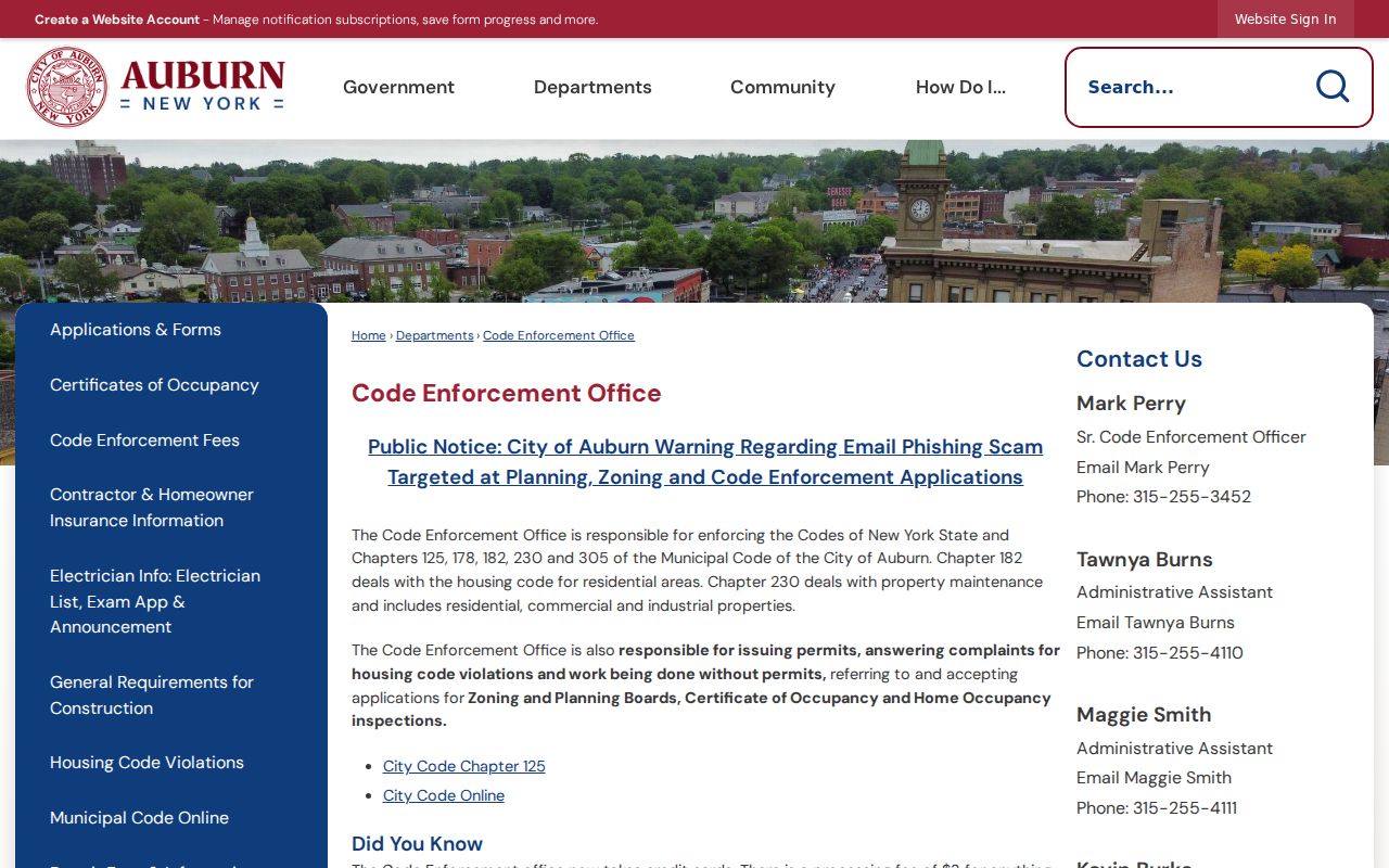
The city image reinforces the need to use the official address-specific records channel instead of a link or payment request received in an unsolicited message.
Auburn Neighbor History Layers
For older Auburn neighbors, HistoryForge is a building and address layer, not proof of a present household. Its entries can include current and historical addresses, built or demolished years, description, building type, stories, architect, notes, coordinates, and historical address forms. These fields are useful for linking a street number to a changing structure when modern parcel data alone is too recent.
The Auburn HistoryForge buildings search provides the historical-address lead. A map, deed, dated directory, city file, or 1886 Sanborn sheet should confirm the detail before it is treated as evidence. Mechanic Street became Osborne Street in spring 1910, and Auburn streets were renumbered in 1880, so an old block search may require the original street name and number.
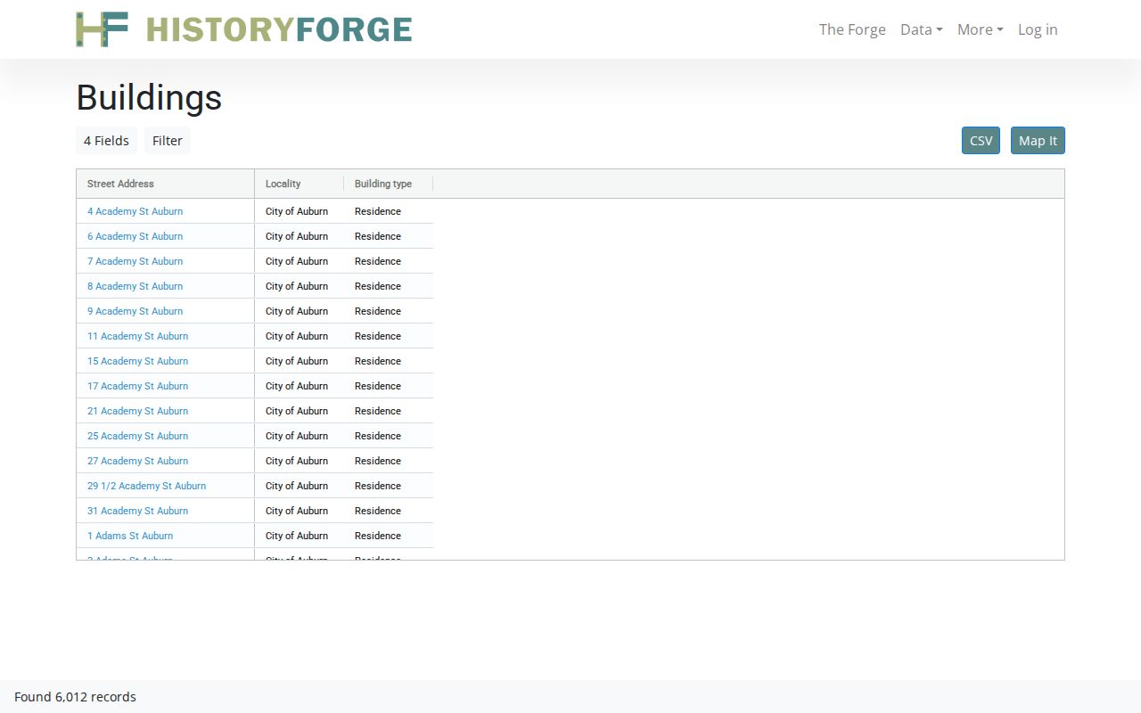
The HistoryForge image shows why a historical address needs a date and a cross-check before it is connected to a current parcel or nearby property.
Auburn Community Directory Boundary
No verified City of Auburn neighborhood-association page, umbrella directory, current association roster, or public block-watch membership list was located in the official sources reviewed. That absence is a privacy boundary, not a reason to create one from scattered records. The community layer is instead institution-based: libraries, archives, historical collections, churches, cemeteries, and voluntary groups may document local history or publish a contact channel, but they do not supply a current membership roll.
| Community resource | Verified role and access |
|---|---|
| Seymour Library | Directories, newspapers, yearbooks, microfilm, and community-history materials; 176 Genesee Street, 315-252-2571. Check current research hours or appointments. |
| Cayuga County Historian | Church, military, organization, family, event, business, map, and architectural files; request-based historical research at 10 Court Street, 315-253-1300. |
| Voluntary local groups | Use only the organization’s own public contact channel. Do not infer or compile membership from an event notice or archive entry. |
The City of Auburn departments directory was reviewed for an official neighborhood-association route, but no dedicated association directory was verified there.
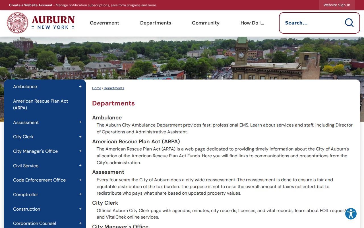
The department image documents the official-source check while leaving current neighborhood membership with the groups that choose to publish their own contacts.
Auburn Neighbor Source Comparison
Official records and commercial neighbor tools are not the same kind of evidence. A public parcel record is tied to a government-maintained geographic or transaction field, while a commercial category may blend parcel, directory, marketing, and public-filing information. Both can be dated or incomplete, but only the originating custodian can explain its record or provide an authorized copy.
| Official record route | Commercial neighbor-tool category |
|---|---|
| Shows a defined parcel, assessment field, deed, or dated historical source with a named custodian. | May combine records from different dates and people with similar names. |
| Supports a limited, source-specific fact that can be checked with the office or archive. | May display stale addresses or incorrect links between people and parcels. |
| Preserves access limits for confidential and restricted material. | Should not be used to create a block’s private household composition or contact list. |
For an uncertain connection, return to the parcel, deed, directory edition, or office record that created it. Keep the access date and source reference with the note.
Auburn Neighbor Privacy Limits
The adjacent-parcel method maps a public legal neighborhood, not a social household neighborhood. A lot may be vacant, have several units, be owned by someone who lives elsewhere, or be occupied by a person not named in the tax roll. Renters and household members are not indexed in public property records. Utility customer lists, delivery data, and DMV-derived addresses are restricted. Court and vital records can also remain sealed or confidential.
Lawful use. Auburn neighbor research can support civic curiosity, property questions, local history, and personal safety awareness. Do not use public records to stalk, harass, intimidate, impersonate, or harm anyone.
The New York Address Confidentiality Program and confidential-voter protections can shield eligible addresses. FOIL may allow access to agency records, but it also permits privacy redactions. Request only the narrow, relevant records and preserve the custodian’s limits.